Passenger flow monitoring and forest fire prevention monitoring project in a mountainous scenic spot
Combined with the deployment of visible light and thermal imaging dual-spectrum heavy-duty pan/tilts at the high points of the mountain structure, it can realize passenger flow density monitoring, fire and smoke identification and alarm, and intrusion prevention in key cultural relics areas.
Project Overview
Project basic information
project site
Real scene of project site
Project background
This scenic spot is a national-level mountain scenic spot, receiving more than 2.6 million tourists annually. The pressure of forest protection and fire prevention coexists with the pressure of passenger flow during holidays. The management office plans to build a visual management and control network without destroying the natural landscape.
Key technology selection
| Requirements | Technical Selection | Reasons |
|---|---|---|
| Long-distance fire point identification | Thermal imaging dual-spectrum PTZ | Can penetrate smoke and identify abnormal temperature rise at night |
| No point power supply from the mains | Solar energy + lithium battery | Avoid large-scale excavation of cable trenches |
| Mountain Backhaul | Wireless backbone + existing optical fiber | Balancing cost and bandwidth |
| Lightning protection | Three-level lightning protection + grounding network rectification | High lightning failure rate in mountainous areas |
Operational results
In the first fire prevention season, the system successfully warned of 3 initial fires, and all were verified and dealt with within 20 minutes. No forest damage was caused. The holiday passenger flow warning mechanism also allows the queuing system to have a 30-minute scheduling buffer in advance.
Project difficulties
Issues that need to be addressed during project advancement
The scenic area is large, the terrain is complex, and power supply and communication are difficult
Most commanding heights have no mains power or fiber optics, so self-organized energy and networks are required.
The detection of fires in forest areas lags behind, and traditional inspections are difficult to cover
Relying on forest rangers to patrol mountains, it is difficult to identify fire spots at night
Passenger flow surges during holidays, and there is a risk of stampede
Ropeway entrances and viewing platforms are prone to instantaneous gatherings
Equipment needs to withstand high humidity, lightning and low temperature tests all year round
The outdoor environment has extremely high requirements on equipment reliability
solution
Technical and construction measures taken to address the above difficulties
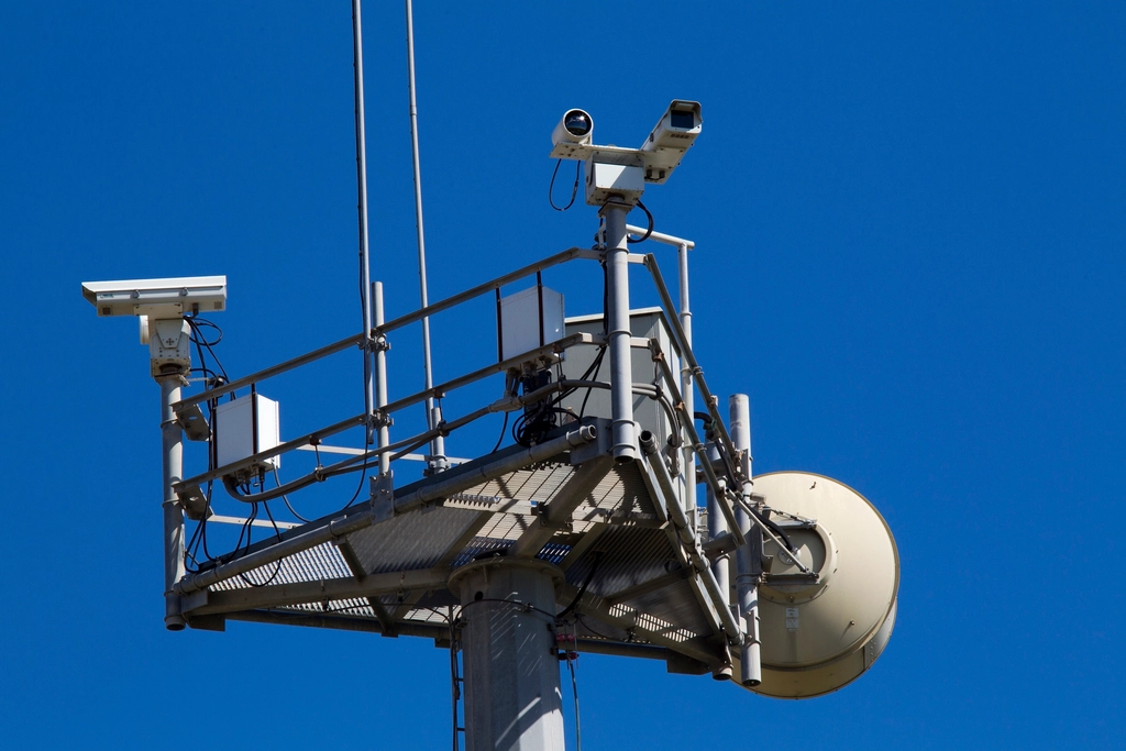
Dual-spectrum heavy-duty pan/tilt deployed at 14 commanding heights
30x visible light zoom + thermal imaging, supporting 3 km fire point identification
Solar energy + backup lithium battery power supply
continuous rainy and rainy life without mains power point ≥7 days
Wireless backbone network + optical fiber hybrid network
Solving video backhaul in weak G-segment coverage areas in mountainous areas
Passenger flow density analysis and graded early warning
Automatically push the cableway entrance and exit to the scenic area command center if the limit is exceeded
District-wide triple lightning protection and equipment insulation design
PTZ shell IP67 + scenery oil integrated inspection mechanism
Project results
Actual operating data after the system goes online
Main equipment list
This project mainly uses equipment (XLD is mainly self-developed)
- Dual-spectrum heavy-duty gimbal — 14 units, including visible light and thermal imaging
- Solar power supply system — 14 sets with 100Ah lithium battery pack
- Wireless backbone network transmission equipment — 9 locations, backhaul in mountainous areas
- Passenger flow density analysis server — 1, scenic spot level early warning
- Lightning protection and monitoring poles — 14 sets, IP67 outdoor type
Related solutions
Other cases
More similar project implementation experience