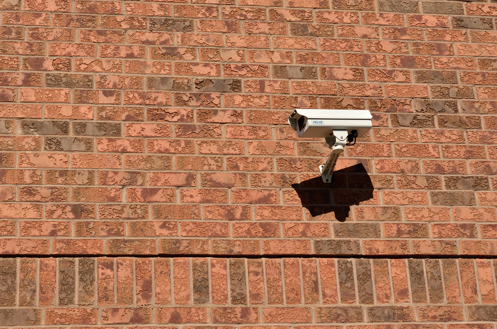
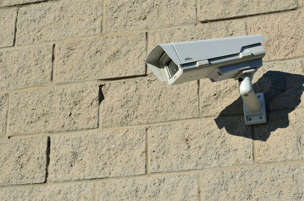
A city’s “Xueliang Project” township video networking construction project
Construct video networking for major intersections, village branches, cultural squares and key sections of rivers in rural areas, and provide hierarchical access to county and rural three-level platforms.
Project Overview
Project basic information
project site
Real scene of project site
Project background
This project belongs to the construction content of the county's "Xueliang Project" and requires "full area coverage, full network sharing, The rural video networking goal of "available all the time and controllable throughout the process" involves 13 towns and 186 administrative villages.
Graded construction strategy
- Central Village (Route 8): Covering main intersections, village branches, cultural squares, and clinics.
- General Village (Road 4): Covering the main roads entering and exiting the village and areas where people are concentrated.
- Natural Village (Road 2): Covering the only access route and the edge of concentrated residential areas.
- All sites do not enter homes or face courtyards, and are open to supervision at the village affairs post.
Social results
After the project was completed and covered, the number of rural security police incidents in the county dropped by about 55% year-on-year. It has also played a significant role in river water level observation during flood control periods and checkpoint inspections for epidemic prevention and control.
Project difficulties
Issues that need to be addressed during project advancement
Village groups are scattered, and power supply and network conditions vary greatly
Some village households are far apart and lack stable power supply
The rural power grid is weak and the voltage is unstable at night
Equipment needs to have wide voltage adaptability
Villagers are unsure about privacy and nature
It is necessary to make it clear that the camera coverage does not involve the house
The operation and maintenance radius is large and fault response is difficult
It is difficult for a single county to cover all village groups
solution
Technical and construction measures taken to address the above difficulties
Points are allocated according to the importance of villages
8 roads in central villages, 4 roads in ordinary villages, and 2 roads in natural villages
All adopt wide voltage design and lightning protection configuration
adapt to fluctuations in rural power grids and reduce lightning strike failure rates
Clearly stipulate the principles of not entering the house and not aiming at the courtyard
and publish the list of points on the village affairs bulletin board
The county and village three-level platform is authorized to access
The village committee can access the village, and the police station can access the full amount
Project results
Actual operating data after the system goes online
Main equipment list
This project mainly uses equipment (XLD is mainly self-developed)
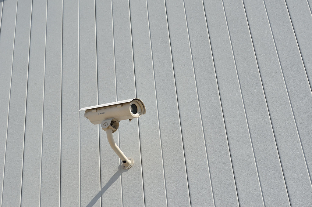
- 2 million network gun machines — 860 units, intersections and main road sections
- 2 million network hemisphere — 260 channels, village branch and cultural square
- Solar supplementary power supply points — 48 locations, no stable city power supply village group
- Township/village level video platform — 13 + 186 authorized terminals
- County-level storage room — 1 location, centralized backup
Related solutions
Other cases
More similar project implementation experience